Aerial Maps
Easily accessible through many websites, aerial pictures give you a birds eye view of the property on certain date (the date the satellite image was taken). Beyond capturing multiple satellite images, Southland uses the latest drone technology to capture the property in real time.

Topography Maps
There’s not a single attribute more important than topography. The lay of the land can make or break a deal.
…..
……

Zoning Maps
What is the current zoning?….What zoning is surrounding it?…..What are the potential options for future zoning? Those are questions Southland can answer for you.
…..
…
..

Soil Maps
Although not 100% accurate, soil maps, which are becoming more reliable, give a buyer a the first glimpse of any obstacles the soil might cause. The desirable soil varies from buyer to buyer.
….

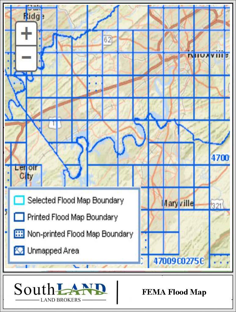
FEMA Flood Maps
Anyone can look at a flood map and see where water was is, was, or might be, but not everyone can look at a flood map and know the rules and calculate solutions to overcome the problems caused by floodways.……………………………………………………………………………………………………………………………………………………………………………………………………….

Growth Plan Maps
Knowing the Big Picture of your municipality is a huge advantage to buying and selling property. Typically, municipalities have a 5 year plan that shows where that city plans to extend its boundaries. Knowing the future is always in your advantage.
